Constantine's Basilica of the Holy Sepulchre

You may like to compare this one (executed from the south east), with the next one taken from the air. It needs a bit of imagination because of all the buildings crowding round but if you look carefully you can "visualize" the original church and superimpose it among the jumble of buildings seen here from the air. The second smaller dome, is situated exactly where the open-air "Holy Garden" was in former times - the atrium containing the Spur of Calvary. The picture is taken looking north towards the Damascus Gate. Just off to the right of the picture, also running north is Beit Ha-Bad Street - the old Cardus Maximus of Byzantine times - and still one of the major domestic shopping streets of the Old City's Suk.
At the bottom right of the picture and extending off it, is the Muristan, a Persian word meaning "hospital" and here, indeed, were the headquarters of the Knights of St. John - the Hospitallers.

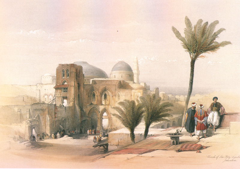
Davis Roberts made a lithograph of this church, too, from the outside. You can see his impression of the church drawn from the south east corner of today's main entrance courtyard, lower down the page. I rather suspect that his foreground, like the one included in his "Temple Mount" drawing, relies a lot on the needs of composition and imagination rather than reality, even though we've moved forward by 150 years or so and the immediate vicinity has undoubtedly changed.